Courses
Natural Science > Earth Science

- Course
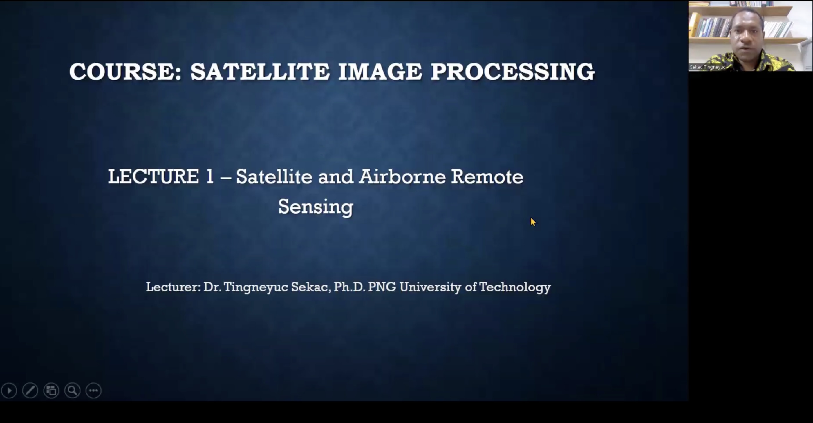
- Satellite Image Processing
- Lecturer
- Sekac Tingneyuc
- University
- Papua New Guinea University of Technology
- Period
- Spring 2024
- Language
- English
Keyword
Syllabus
Satellite Image Processing or Aerial Image processing is seen as one of the important field in the research and development sector and plays a vital role in the field of Remote Sensing, GIS, Agricultural Monitoring, Disaster Management, Resource planning and monitoring and many other fields. Satellite Image processing consists of the Images of the earth taken by the Artificial Satellite as a digital photograph and then process by computer to extract information. The course emphasizes a hands-on learning environment, with in-depth insights into theoretical and conceptual underpinnings Satellite Image Processing. The course will empower student to explore deeply into utilization of image processing tool to process Satellite Image in their practical area of interest.
| No. | File | Download |
|---|---|---|
| 1 | 3.Syllabus.pdf | Download |
Courses List
| No. | Course | Format | File | Date |
|---|---|---|---|---|
| 1 | Week 1 - Satellite and Airborne Remote Sensing | 2024-06-25 | ||
| 2 | Week 2 - Concept of Satellite and Airborne Digital Imagery | 2024-06-25 | ||
| 3 | Week 3 - Geo-Referencing and Geometric Correction | 2024-06-25 | ||
| 4 | Week 4 - Atmospheric and Topographic Correction. | 2024-06-25 | ||
| 5 | Week 5 - Radiometric Resolution and Correction. | 2024-06-25 | ||
| 6 | Week 6 - Introduction to Image Enhancement Techniques | 2024-06-25 | ||
| 7 | Week 7 - Image Spatial Resolution and Enhancement. | 2024-06-25 | ||
| 8 | Week 8 - Image Spectral Resolution and Enhancement | 2024-06-25 | ||
| 9 | Week 9 - Satellite Remote Sensing Image Classification | 2024-06-25 | ||
| 10 | Week 10 - Image Classification Accuracy Assessment. | 2024-06-25 | ||
| 11 | Week 11 - Change Detection. | 2024-06-25 | ||
| 12 | Week 12 - Application of Satellite and Airborne Imagery. | 2024-06-25 | ||
| 13 | Exam | 2024-06-25 |
제목
